Datei:Karte Deutschland.pngAus BtV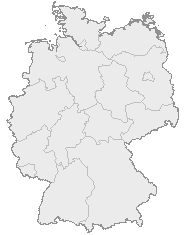 Keine höhere Auflösung vorhanden. Karte_Deutschland.png (188 × 235 Pixel, Dateigröße: 2 KB, MIME-Typ: image/png)
Deutschlandkarte mit Bundesländern.
DateiversionenKlicke auf einen Zeitpunkt, um diese Version zu laden.
DateiverwendungKeine Seite benutzt diese Datei. |